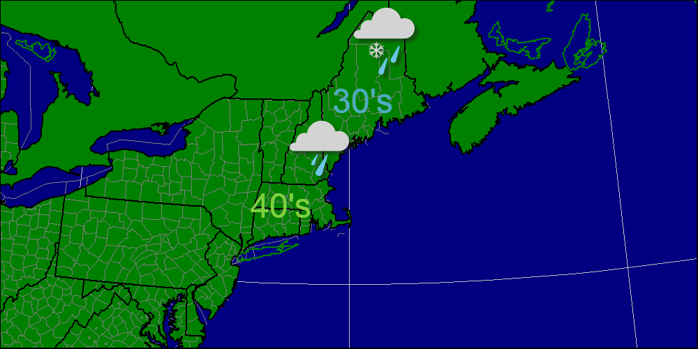
Today, a weak warm front will move through followed by a stronger cold front. This morning's precipitation is a result of the warm front and will remain a wintery mix inland. At the coast, light rain is expected. This afternoon, there may be a window after the warm front passage and before the cold front arrives. The cold front will feature snow in the highest elevations with predominantly liquid precipitation elsewhere. Looking ahead, another cold front sweeps through Saturday with arctic air invading early week. Beyond that, there is a significant threat for a Nor'easter on Thanksgiving or the day before.
-Jack
 RSS Feed