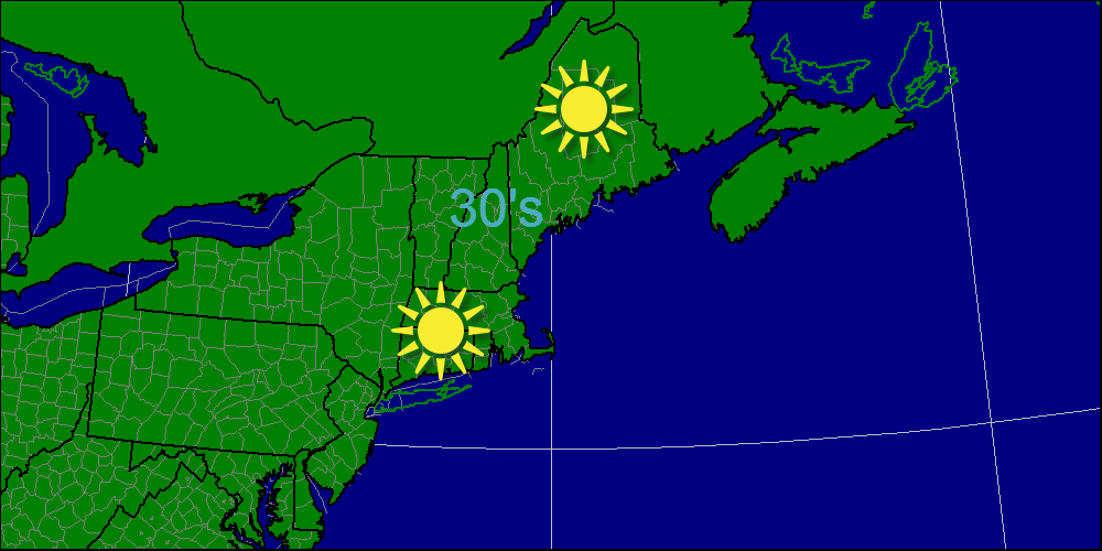
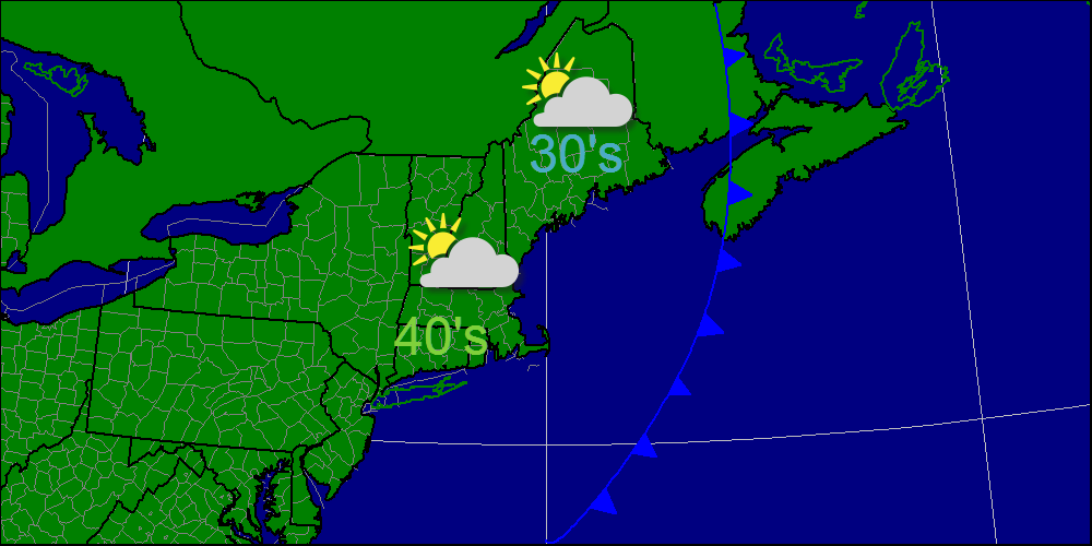
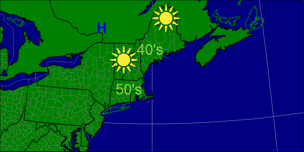
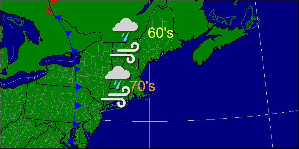
Monday will feature the passage of a strong cold front bringing a line of heavy rains, high winds and even a rumble of thunder. The activity will be focused in the morning hours and will likely move out by 1-2 PM west to east. Temperatures will be warmest at the onset of daylight in the 50's and 60's while in the afternoon, gusty NW winds will bring in temps in the 40's and 50's. Winds will start from the SE ahead of the front and then shift to the NW after the front passes.
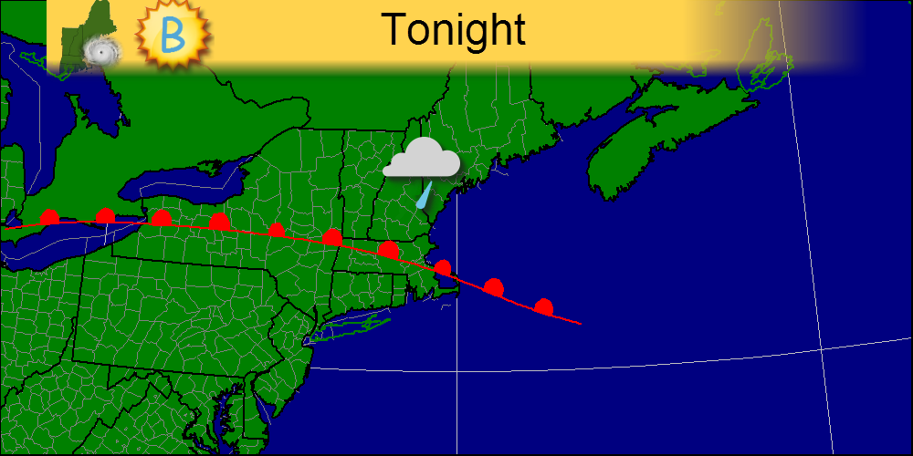
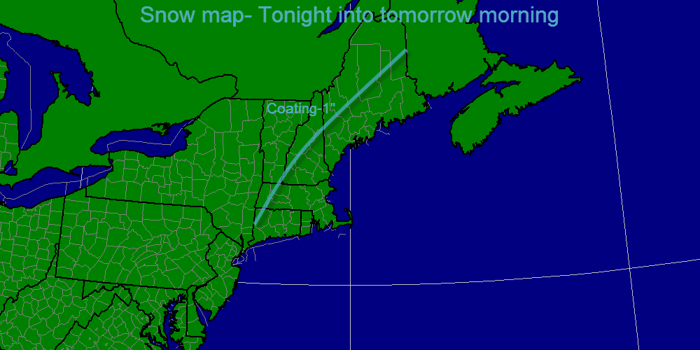
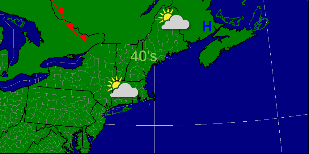
For tonight, light sower activity will be the result of the passage of a warm front. winds will increase out of the south ahead of the cold front. Winds will gust 30-40 mph so scattered power outages are possible.
For tonight, light sower activity will be the result of the passage of a warm front. winds will increase out of the south ahead of the cold front. Winds will gust 30-40 mph so scattered power outages are possible.
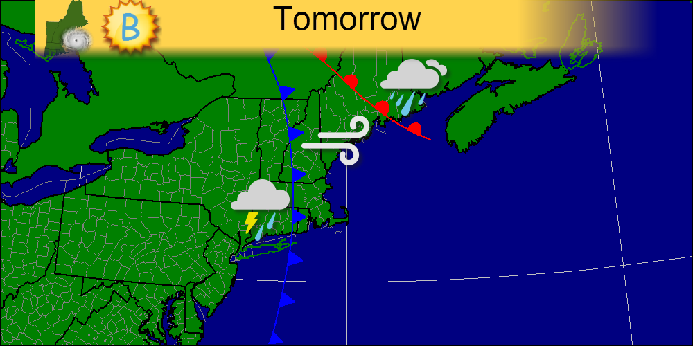
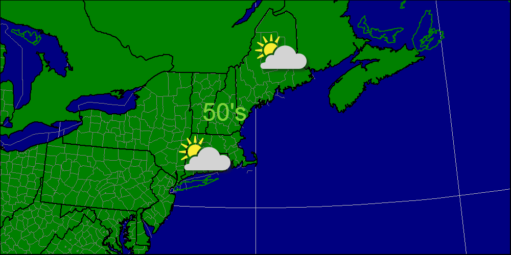
For tomorrow, the day will be split half and half, the morning being wet and wild while the afternoon will be dry and windy with winds gusting out of the NW.
-Jack
 RSS Feed